GIS Services for Agribusiness and Environment
We assess your property's provision of ecosystem services and estimate the potential gains from implementing sustainable alternatives.
The intensification of climate change, added to population growth and increased competition for resources that are often scarce (land, water and energy), demand from the rural entrepreneur an increasingly responsible and assertive management.
The carbon storage and sequestration assessment as an indicator of climate regulation ecosystem services is widely used in conservation studies and in supporting decision-making processes associated with public policies such as encouraging preservation through payment for ecosystem services programs (PES). However, these studies are rarelly focused on local scale and do not assess the issue from the farmer perspective.
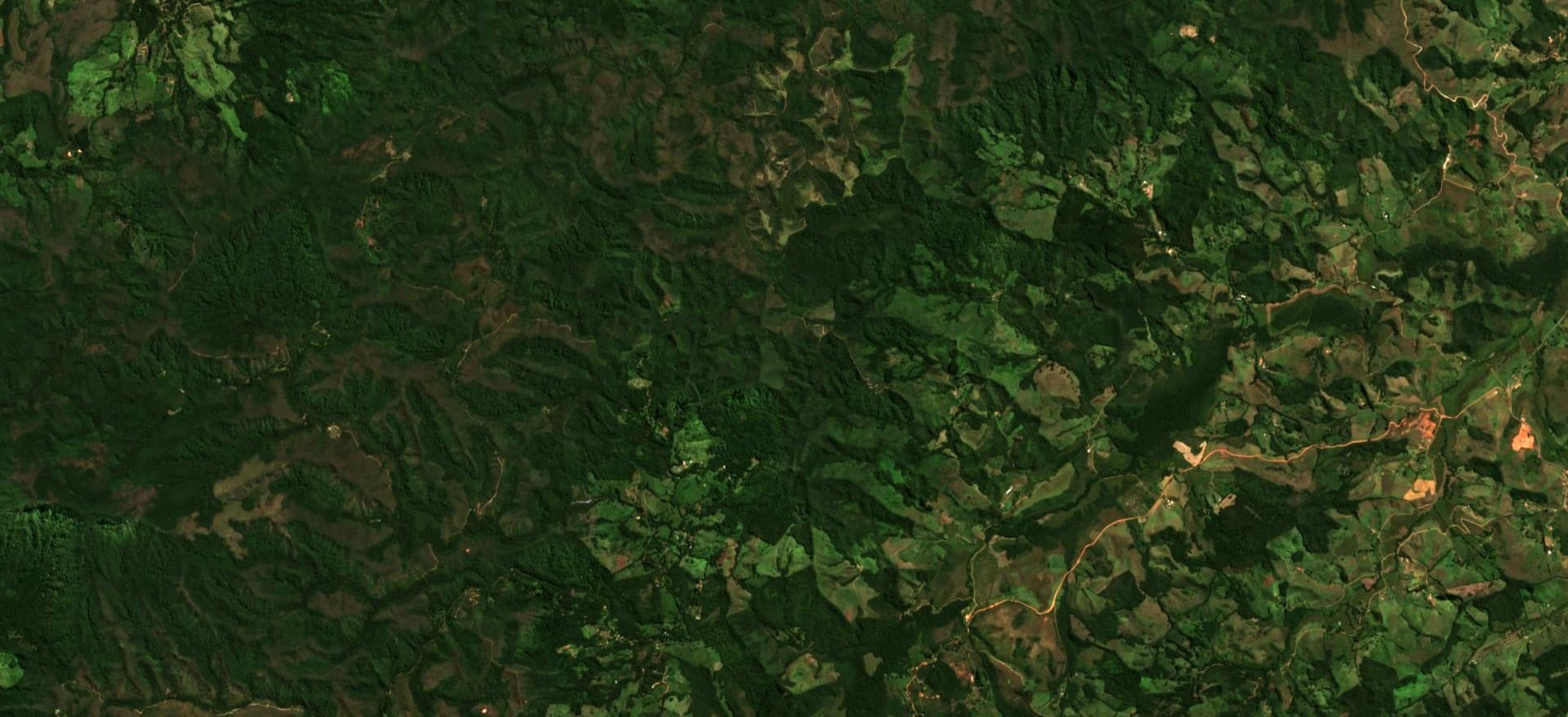
Using satellite images, we carry out quantification, economic analysis and mapping of carbon storage and sequestration. To add value to your planning and decision-making process, we can also model alternative landscapes that simulate the implementation of sustainable initiatives (preservation of forest areas, pasture management, eucalyptus plantation, silvopastoral systems, etc.) to estimate economic and ecosystemic gains, as well as comparing the advantages and disadvantages of each over time.
Our consultants employ national and international techniques, systems and models widely used by the geospatial intelligence community to help you quickly analyze and answer questions such as:


